Enlarge Your Update By 2 Pictures Today!
Threw in a few shots that I thought were shit but I need to clear out my HD so here they are. Dunno if I posted any pictures of Ecorse...it's a new town to the south of Ostrop (look back at the region shot). The town was setup 1950-ish ORT and was primarily made up of natural born, middle class, white collar workers wishing to escape the hustle and bustle of the city (mostly the immigrants though) and get their own homes. In Ostrop housing is very limited and there aren't many good apartments that ordinary people can afford so they decided to start their own town a good distance from all the dirt and dust. Thye traveled south along Highway #3 (the highway that runs north/south in Path through Ostrop and others) and soon found that the highway soon became a 4 lane road and crossed the water to the other side and continued as a road. Soon after they found it they established the town as it was a very nice place with hills rolling up from the nice sandy beaches and nice cliffes to the east that would make nice perches later. After the sims settled more came until they became a real town with business and such and they named their new town Ecorse.
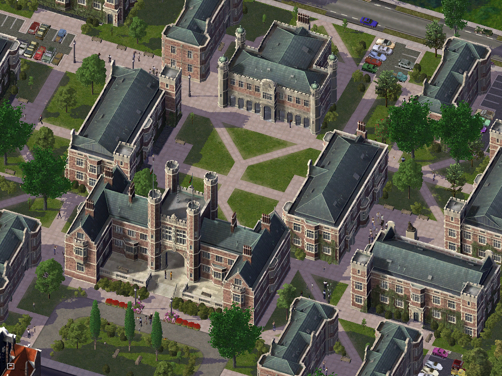
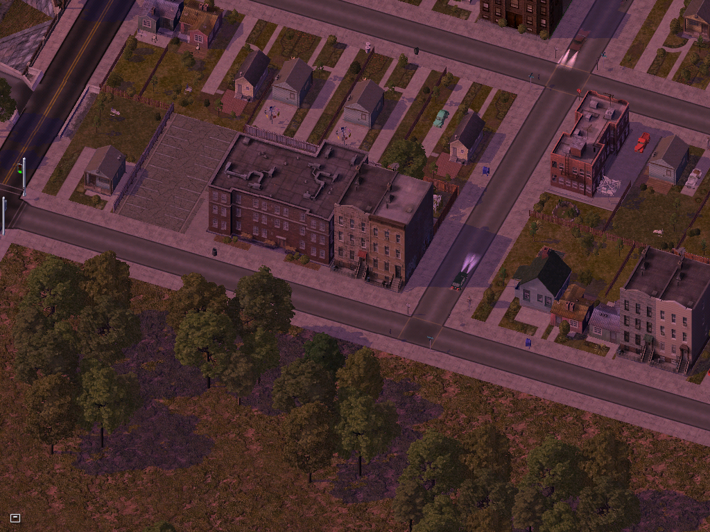
 Since all these people are semi-wealthly suburbanites the second thing they setup was this soccer field and park complex. Every Saturday you can catch a game of bratty spoiled little preps kicking a ball arond with no effort. As mayor I plan to stop this sometime in the future.
 This is a little island of the shore which has a really nice Redwood forest. This island was technically established 10 years before the actual founding of Ecorse but it was never claimed to have been separate from Ostrop so it conformed with the people of Ostrop.
Years ago people from the small sub town of Ostrop (Balmer) climbed in their ships and headed south. They came across this island and established a outpost here to warn ships. After this outpost was hit multiple times between 1940 and 1943 they finally built the lighthouse seen here. When Ecorse was founded they petitioned to make the park a national one and they were sucessful witht the SimNation government establishing 2 ranger stations/outposts. The island is rarley visited anymore as it very hard to get there especially when the island is most beautiful in spring when the tidewaters are so violent any small ship will be sunk.
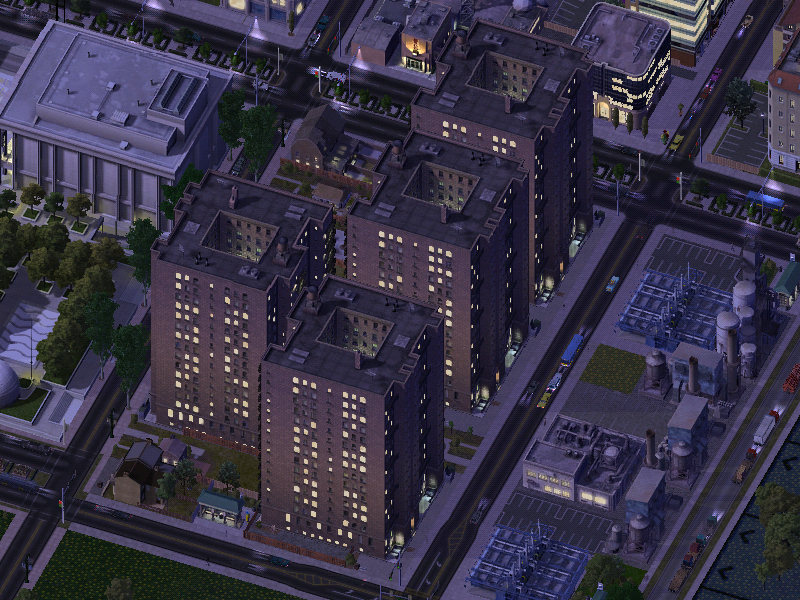
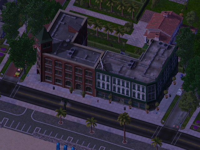
 This block of apartments was established only 2 years after the foundin of Ecorse. For years before Ecorse and even Path Engsims passed by this straight for trade with the Spansims but never landed there. Once Ecorse was founded wealthy engsims found it very desirable setting up several financial companies downtown (or as Willy the Groundskeeper would say doontoon) and building Tudor style homes here near the crest of hill that continues up from the beaches. They live with out discrimination as share a language and many common customs they also have a little money whice makes anyone attractive.

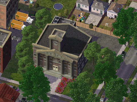
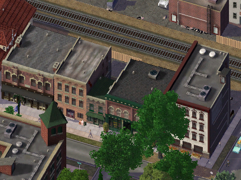
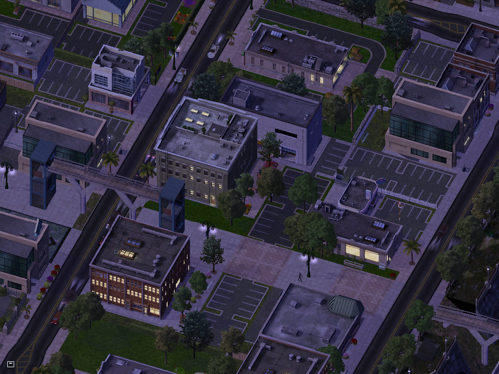
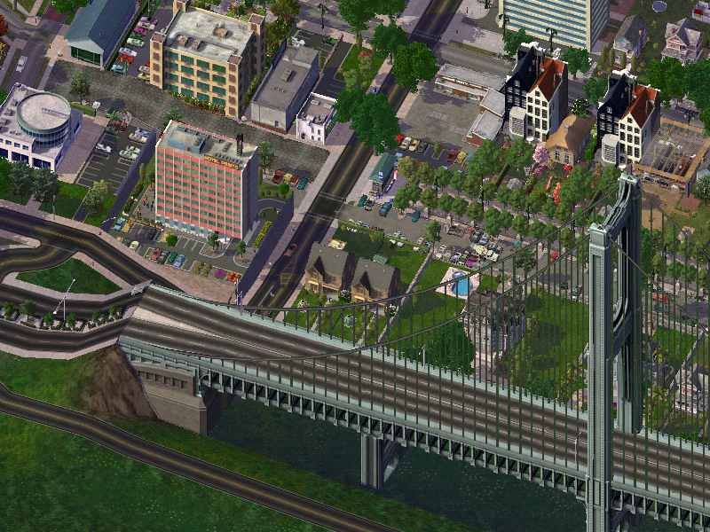
Nothing in this shot really. Just to illustrate that Ecorse is the San Fransico of Path.
 Dunno if I posted any pictures of Ecorse...it's a new town to the south of Ostrop (look back at the region shot). The town was setup 1950-ish ORT and was primarily made up of natural born, middle class, white collar workers wishing to escape the hustle and bustle of the city (mostly the immigrants though) and get their own homes. In Ostrop housing is very limited and there aren't many good apartments that ordinary people can afford so they decided to start their own town a good distance from all the dirt and dust. Thye traveled south along Highway #3 (the highway that runs north/south in Path through Ostrop and others) and soon found that the highway soon became a 4 lane road and crossed the water to the other side and continued as a road. Soon after they found it they established the town as it was a very nice place with hills rolling up from the nice sandy beaches and nice cliffes to the east that would make nice perches later. After the sims settled more came until they became a real town with business and such and they named their new town Ecorse.
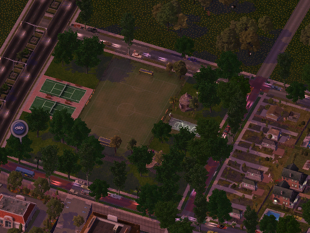 Since all these people are semi-wealthly suburbanites the second thing they setup was this soccer field and park complex. Every Saturday you can catch a game of bratty spoiled little preps kicking a ball arond with no effort. As mayor I plan to stop this sometime in the future.
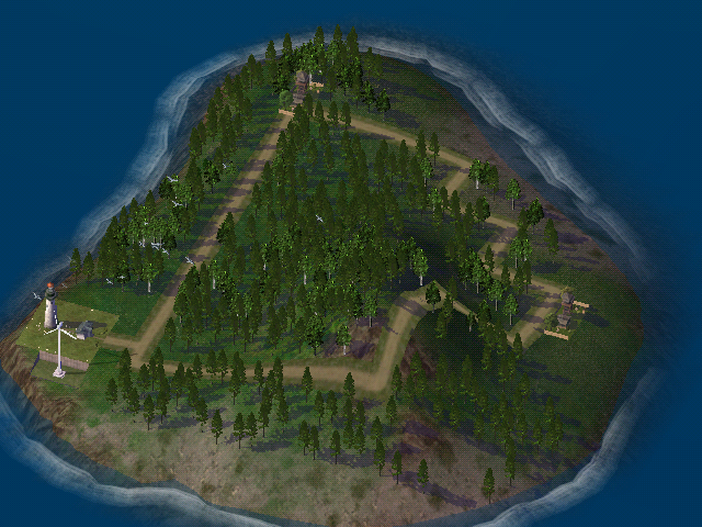 This is a little island of the shore which has a really nice Redwood forest. This island was technically established 10 years before the actual founding of Ecorse but it was never claimed to have been separate from Ostrop so it conformed with the people of Ostrop.
Years ago people from the small sub town of Ostrop (Balmer) climbed in their ships and headed south. They came across this island and established a outpost here to warn ships. After this outpost was hit multiple times between 1940 and 1943 they finally built the lighthouse seen here. When Ecorse was founded they petitioned to make the park a national one and they were sucessful witht the SimNation government establishing 2 ranger stations/outposts. The island is rarley visited anymore as it very hard to get there especially when the island is most beautiful in spring when the tidewaters are so violent any small ship will be sunk.
 This block of apartments was established only 2 years after the foundin of Ecorse. For years before Ecorse and even Path Engsims passed by this straight for trade with the Spansims but never landed there. Once Ecorse was founded wealthy engsims found it very desirable setting up several financial companies downtown (or as Willy the Groundskeeper would say doontoon) and building Tudor style homes here near the crest of hill that continues up from the beaches. They live with out discrimination as share a language and many common customs they also have a little money whice makes anyone attractive.
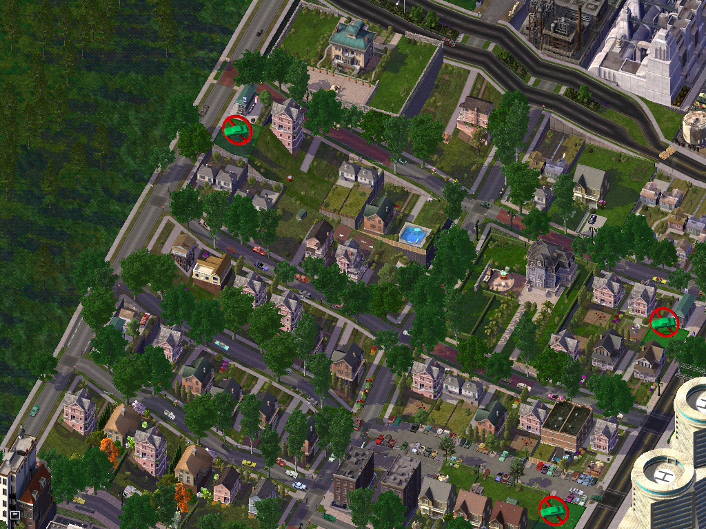
Nothing in this shot really. Just to illustrate that Ecorse is the San Fransico of Path.
posted by A Crazed Bush Hating Socialist at 5:27 PM
2 comments
![]()
![]()